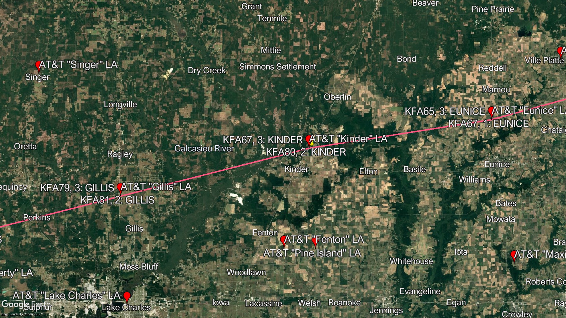
Kinder LA- Louisiana

Coordinates: 30.523562, -92.823925
Address:
Paths To:
View On: Long Lines Map | Google Maps | Bing Maps

View Random Site

Site Notes

Add site note

Demolished   Collapse/Expand

Tower & Building Demolished in 2018
Former Routes >> KFA79, Path 2, Segment 1: KINDER - GILLIS << KFA67, Path 4, Segment 1: EUNICE - KINDER

Site Documents

Site Pictures

Add site Pictures

This event has 0 comments.

Please log in to leave a comment.

All information is provided for free to the public. Pictures and Documents are provided by supporters of the website and for that I am very gateful.
For any questions or comments please email [email protected].