SITE HISTORY Collapse/Expand
(L-1, L-3, TD2)
No. 1ESS AUTOVON
FORMER GROUND ENTRY POINT
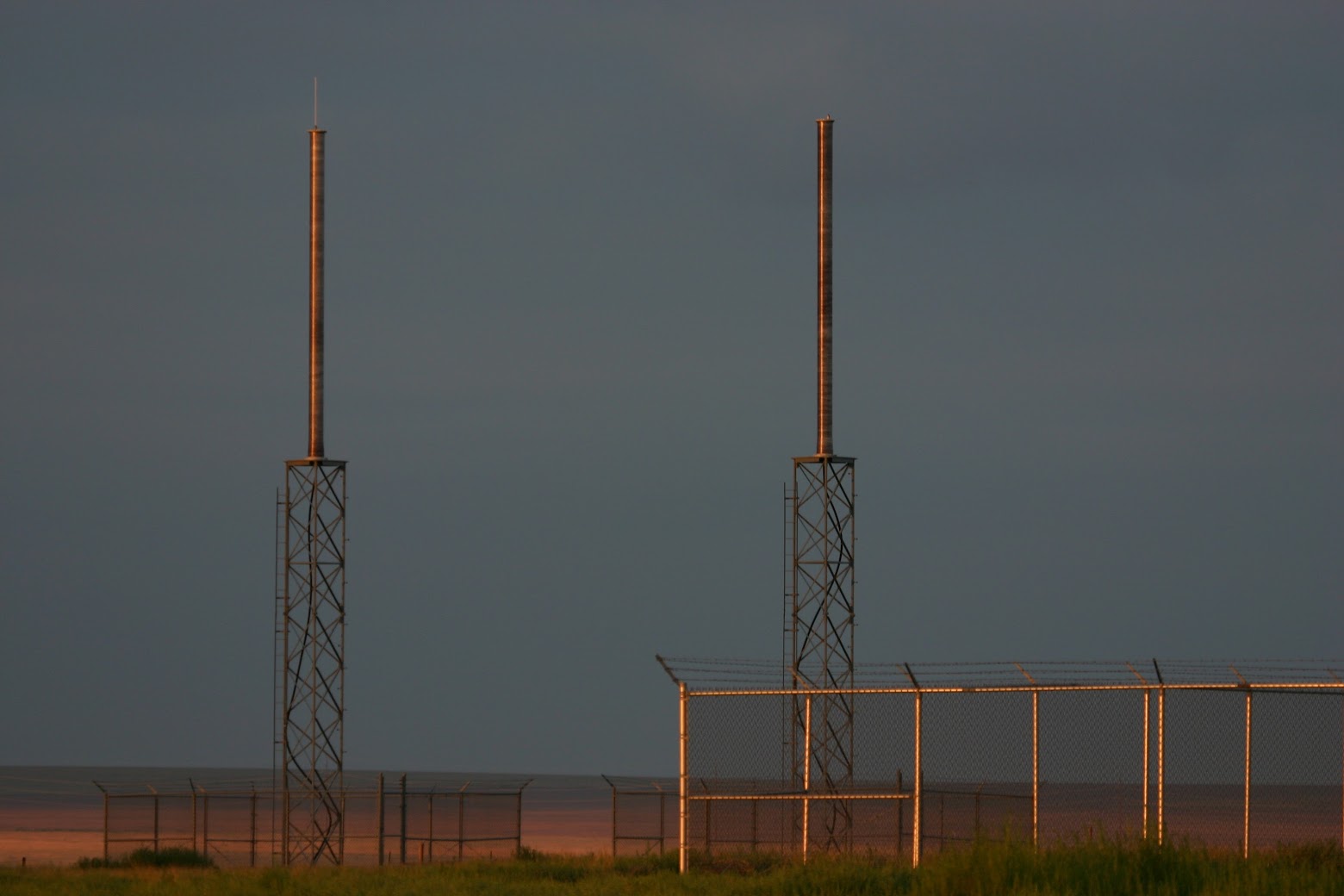
FORMER TERMINAL NODE CHEYENNE MT L-1 CABLE
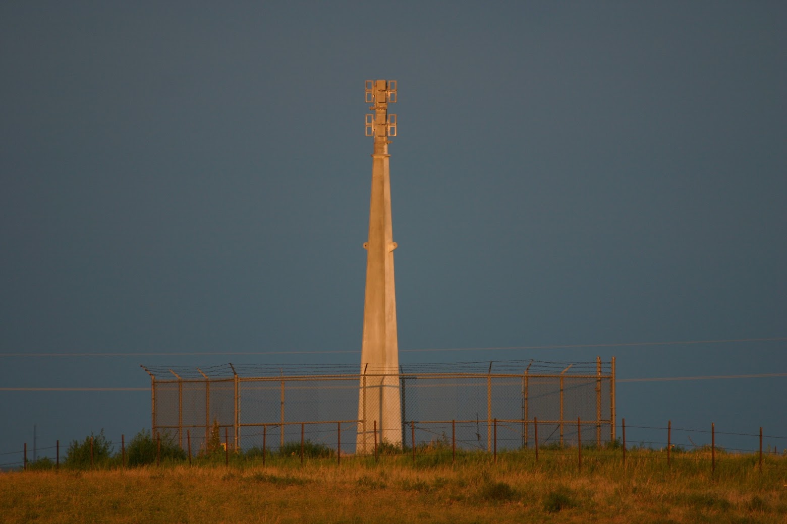
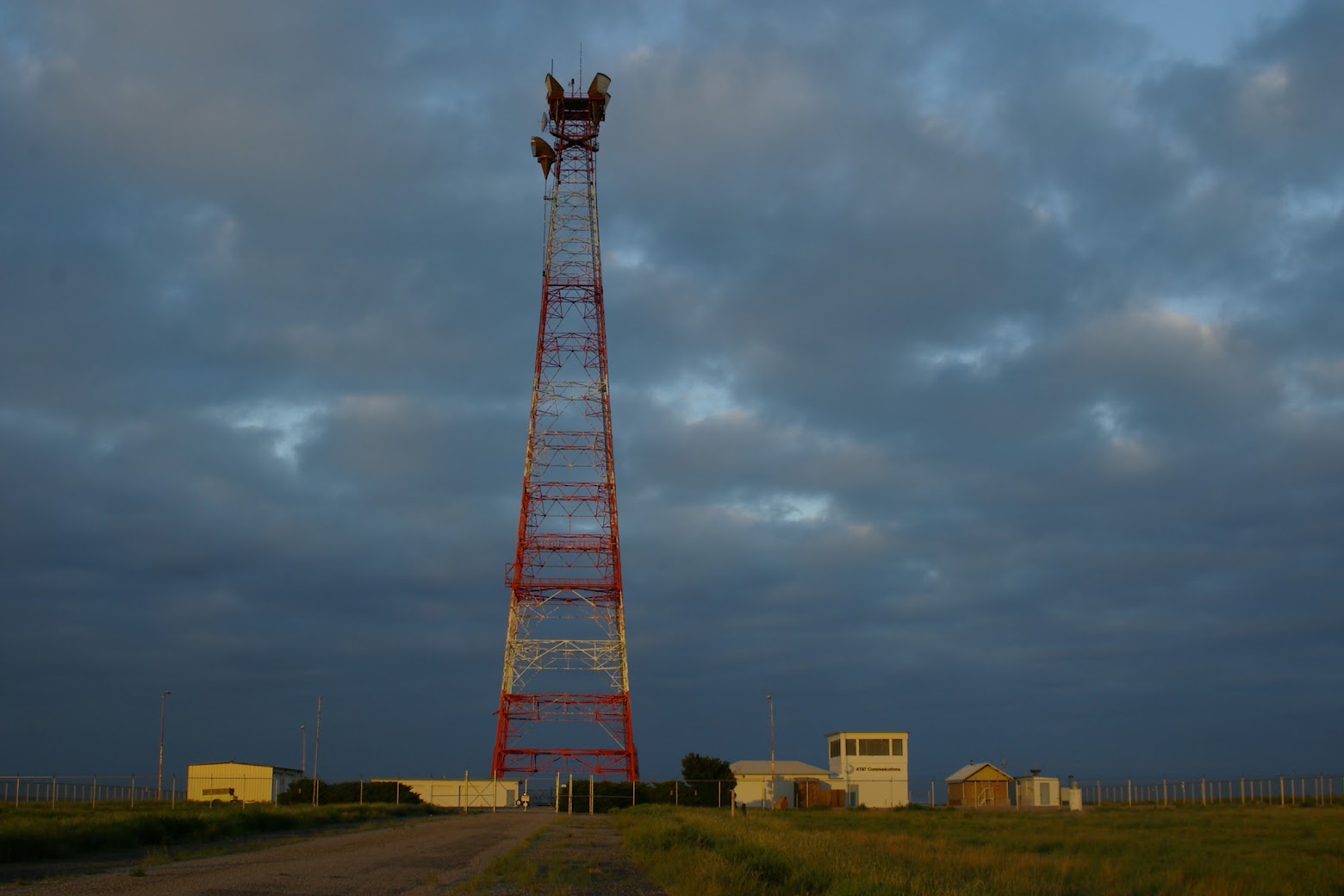
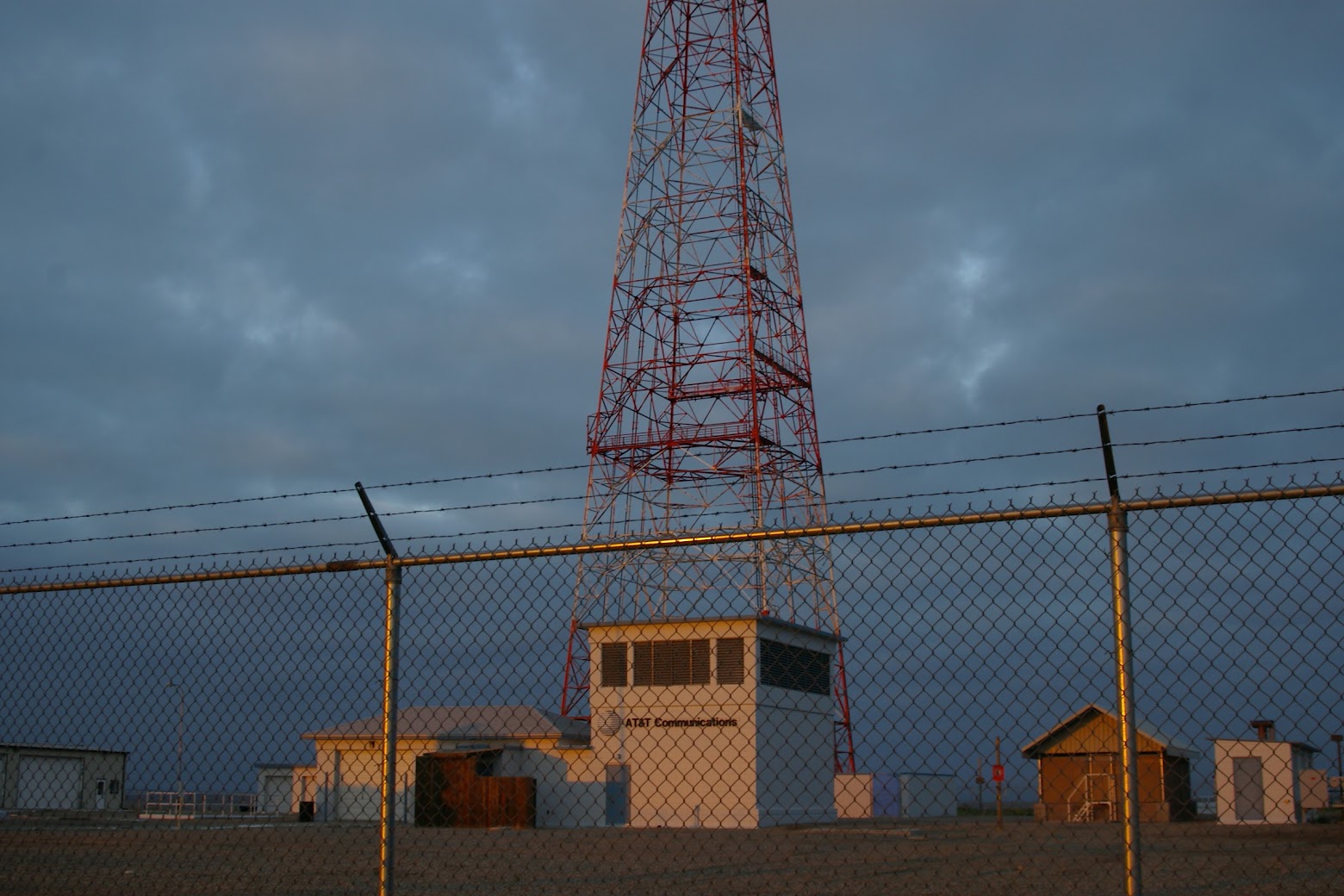
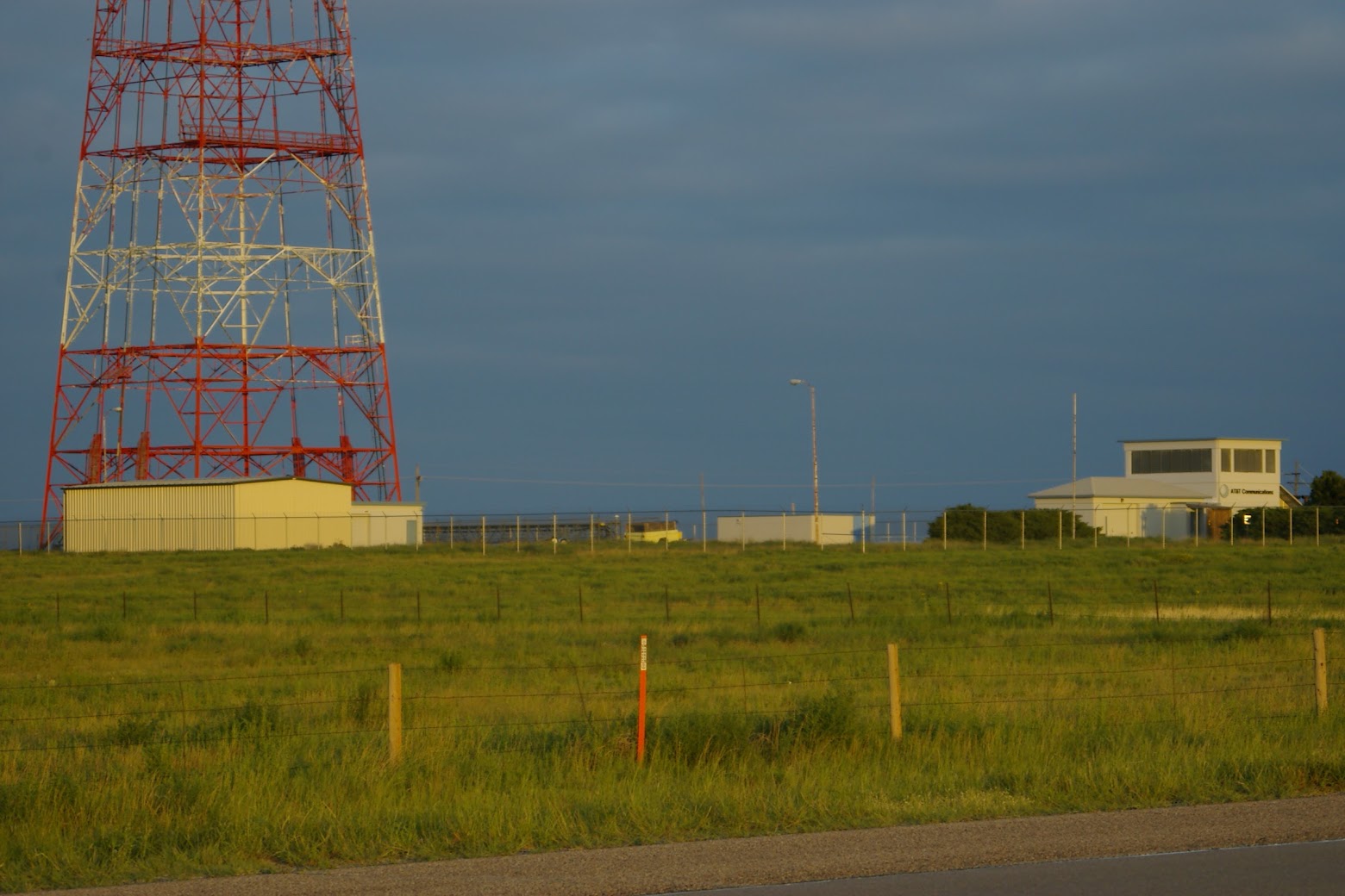
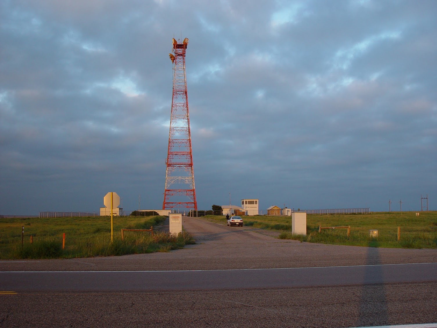
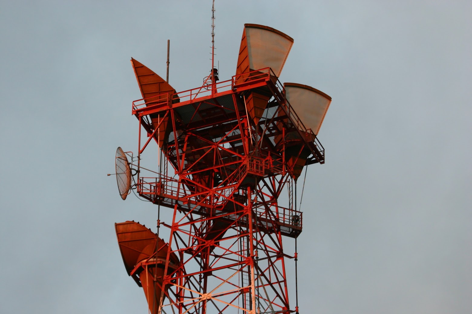
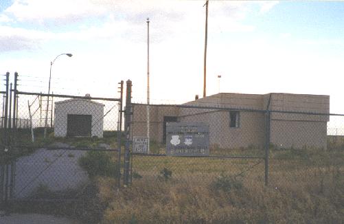
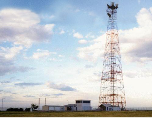
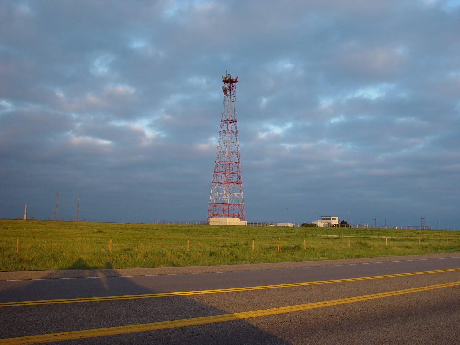
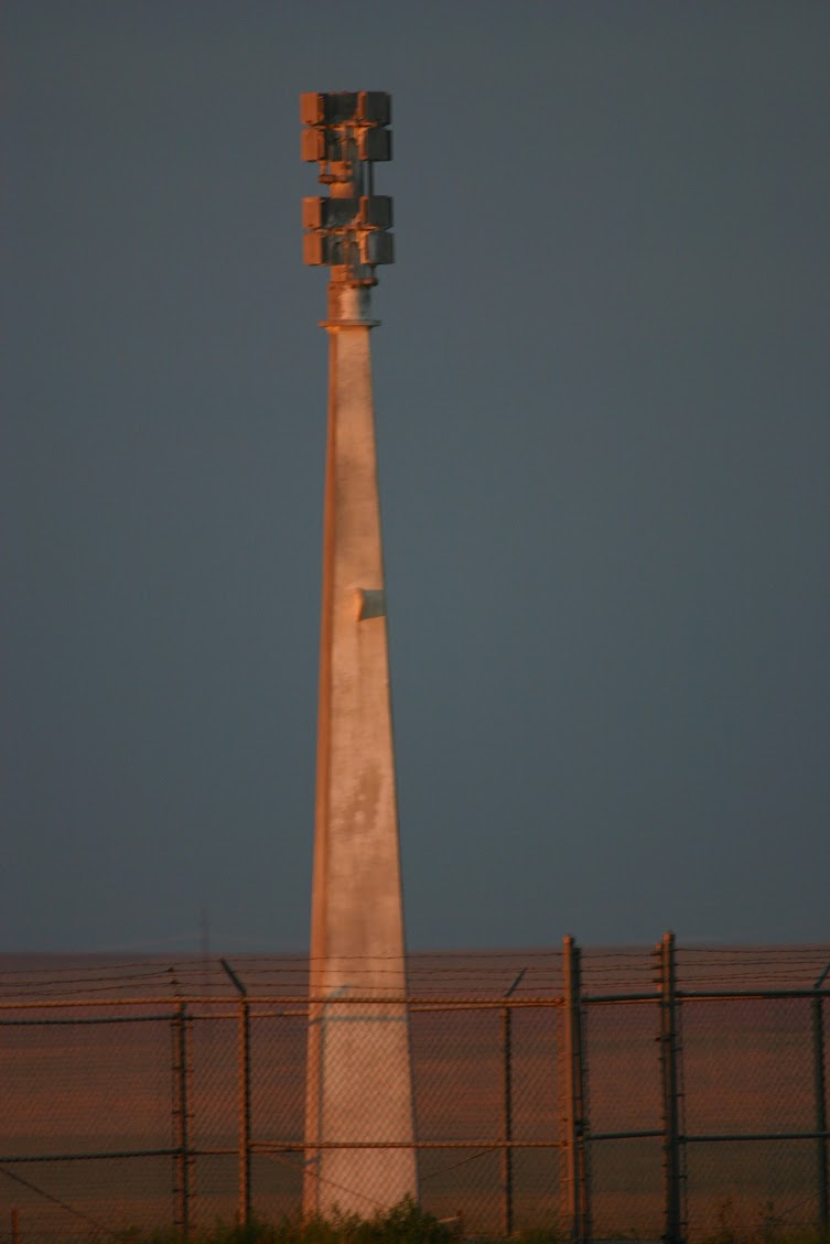
Lamar AT&T site. Provided GEP communications as well as connectivity between Cheyenne MT and AT&T "Transcontinental Cable". Originally a L-1 cable connected Lamar to Cheyenne MT along with 3 other L-1 cables and 2 TD-2 hardened microwave shots to provide six redundant communications paths. Capacity of this system was 600 full-period two-way message channels and one TV channel. Note interesting (blast resistant) GEP antennas on short towers in lower left of photo. Former Lamar Air Force HF Tactical Radio Station. Located within a quarter of a mile of the Lamar AT&T site. Collocating was a fairly common practice during L carrier days. "Hardened" communications could be provided by buried cable (copper pairs) to the AT&T site. Sometimes the circuits were piggy backed on the L Carrier order wire circuits and dropped off at a repeater site near the customer's site. ARCHIVED FROM MARK FOSTER'S SITE