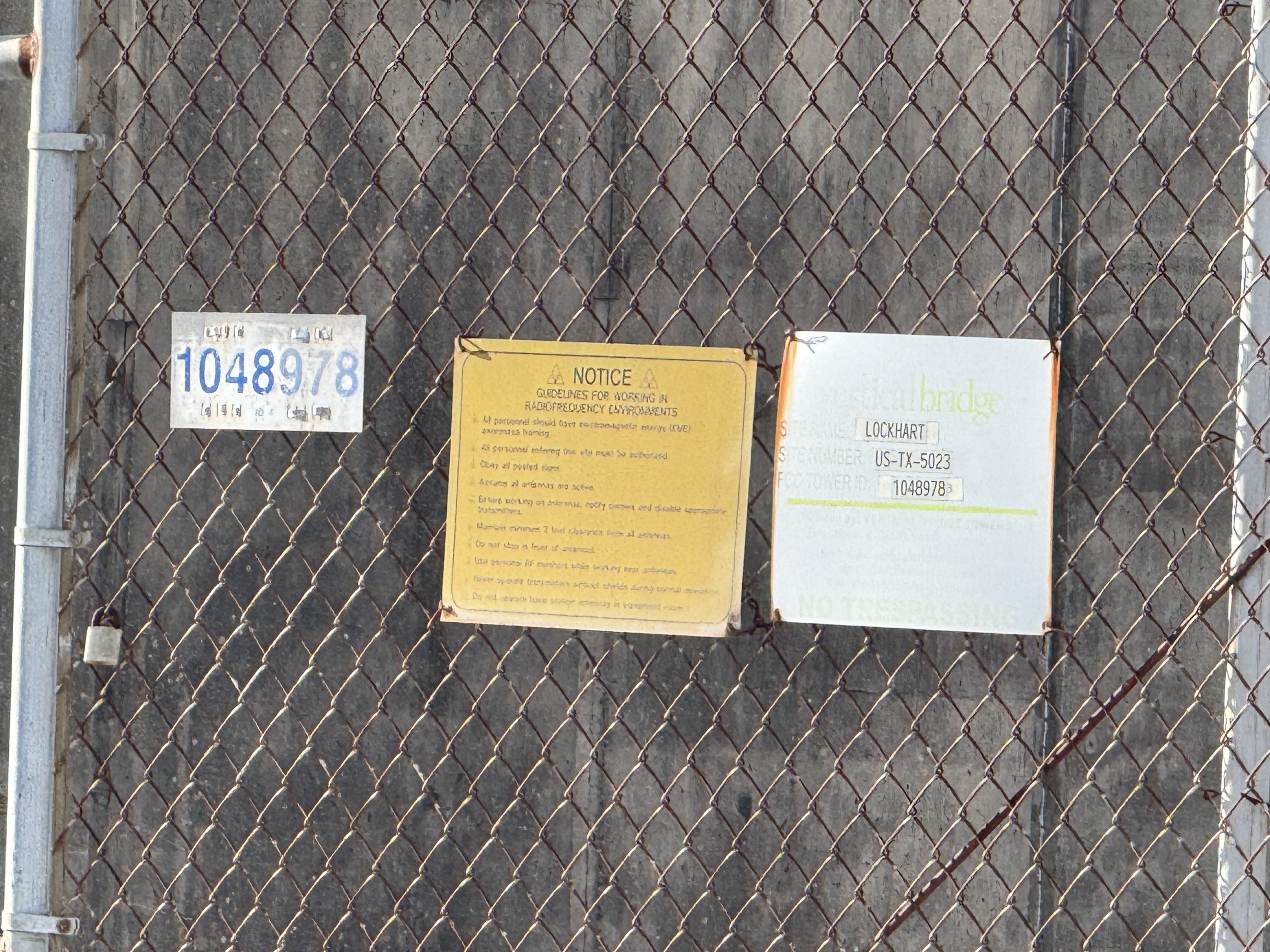
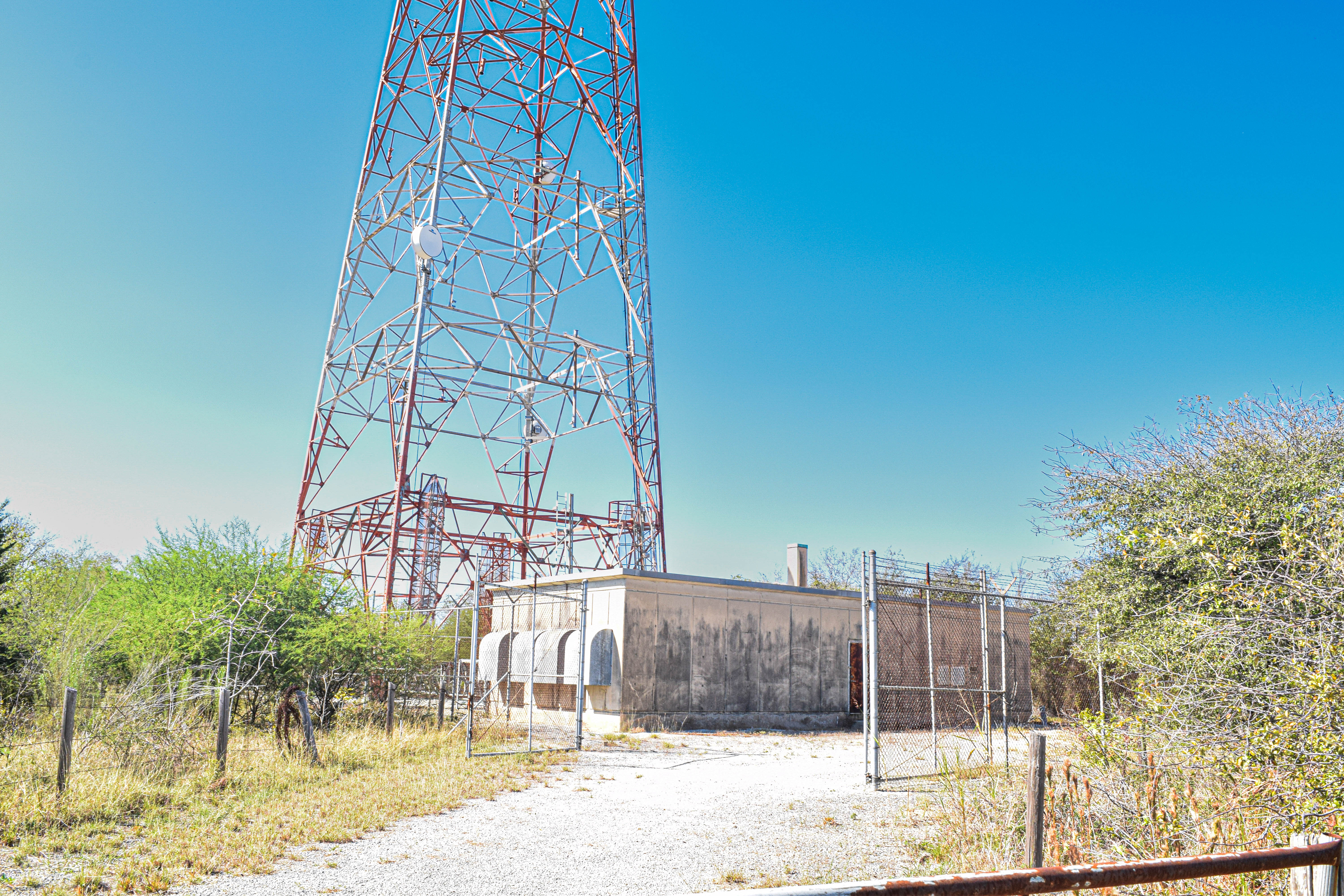
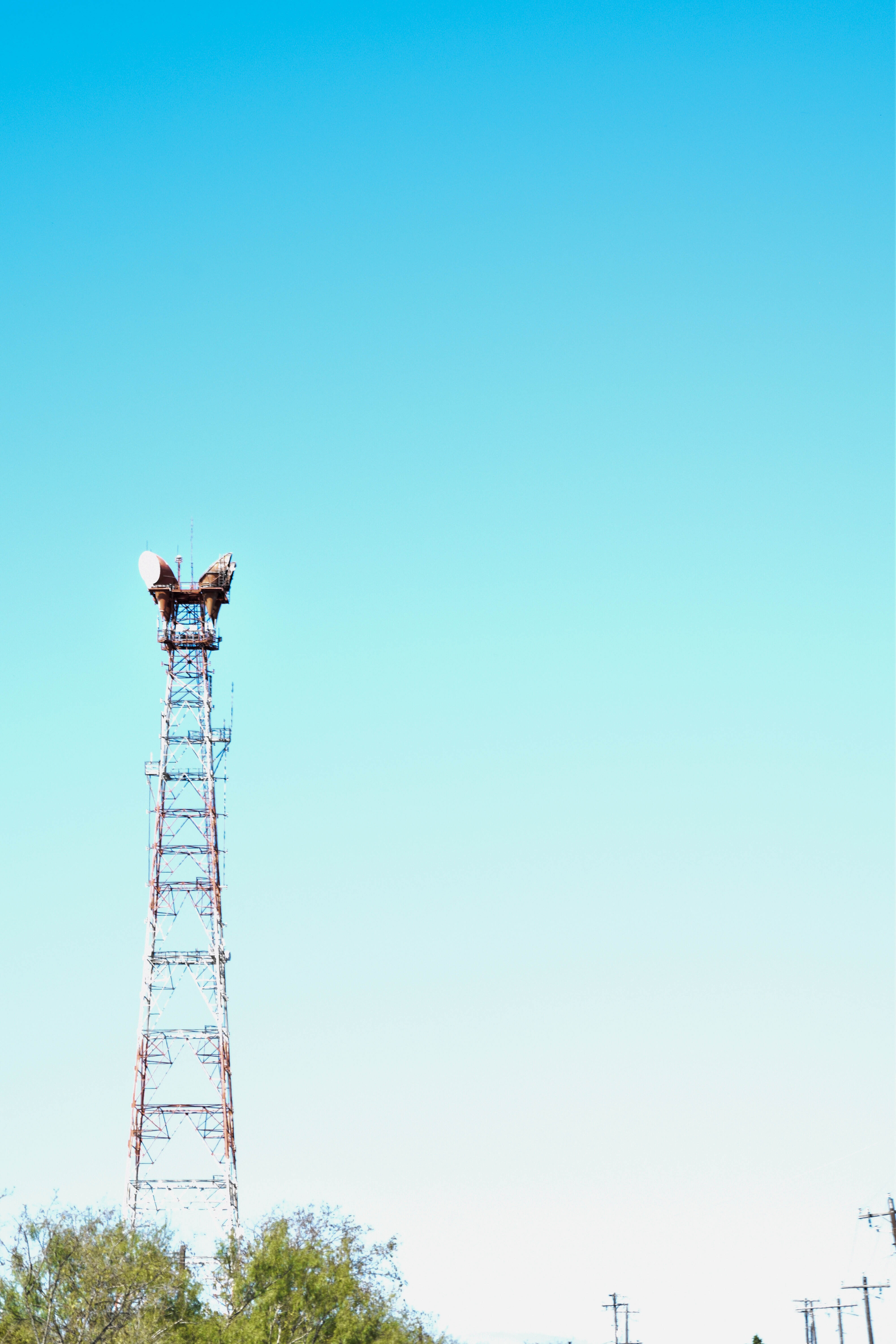
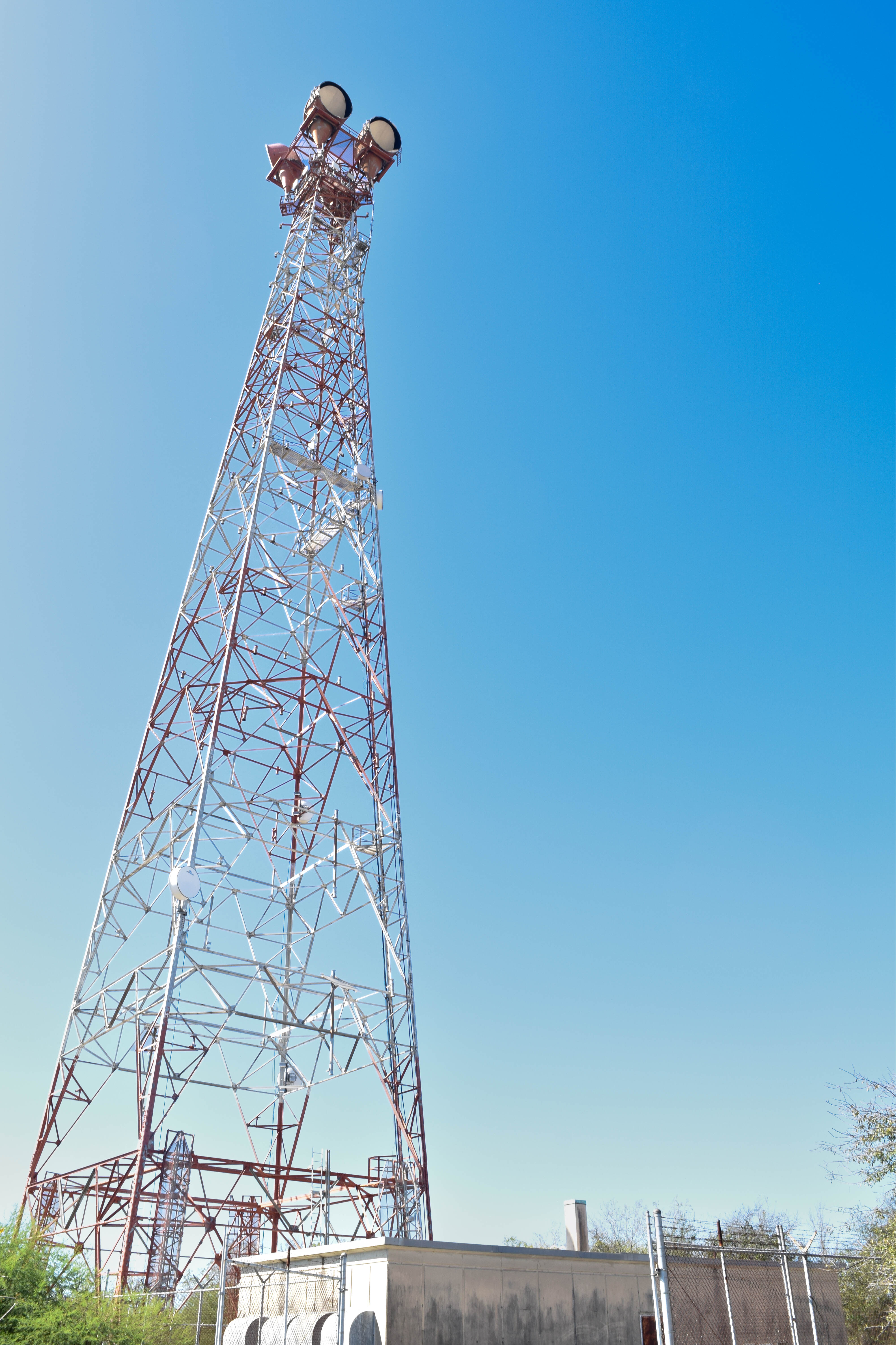
LOCKHART TX - Texas
Coordinates: 29.85750008, -97.7519455
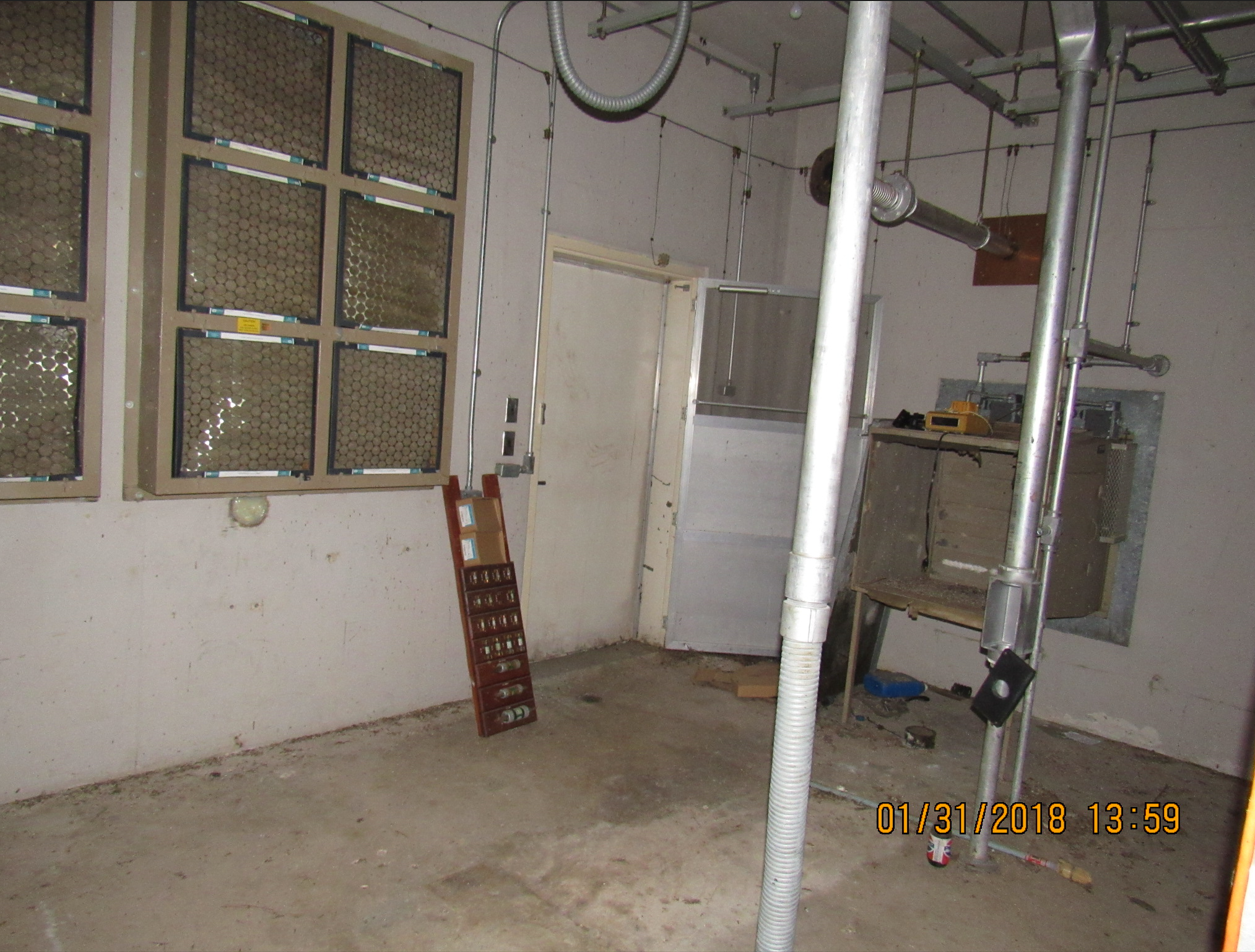
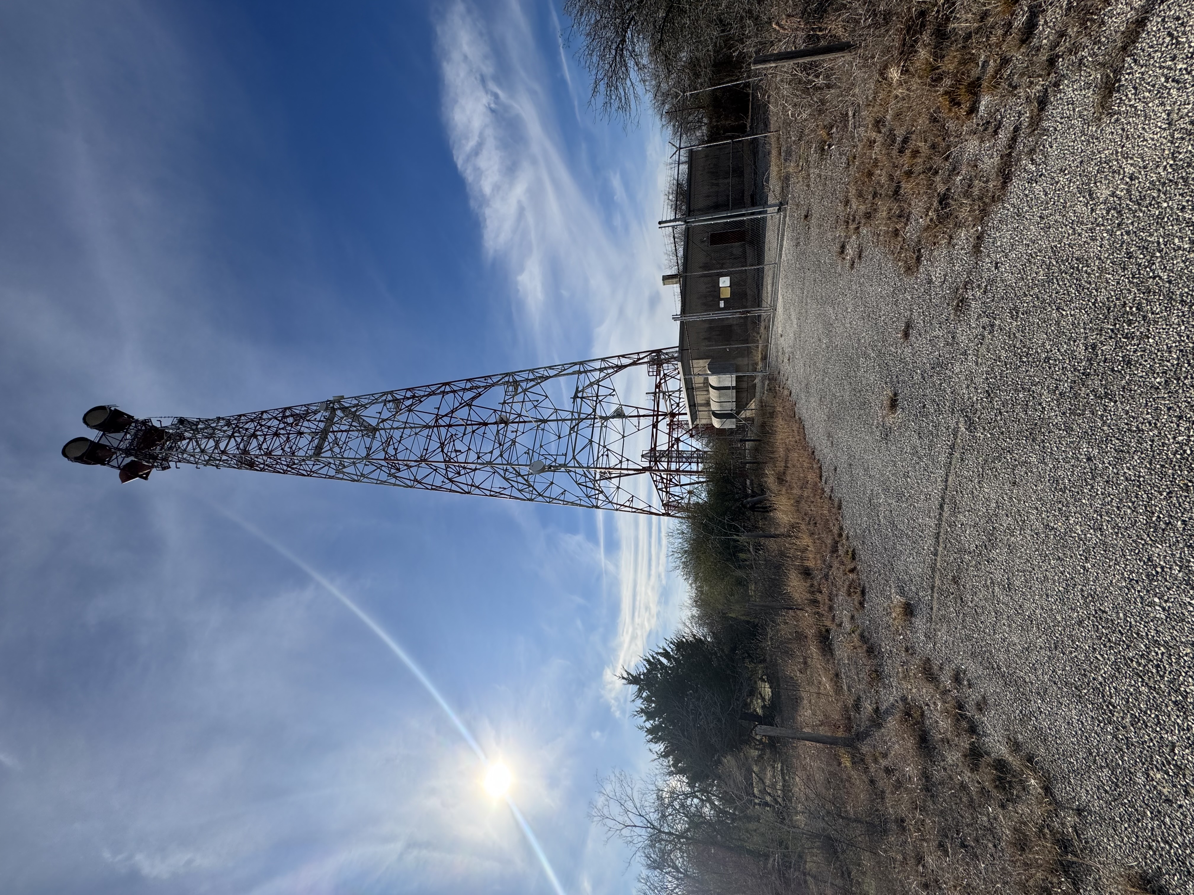
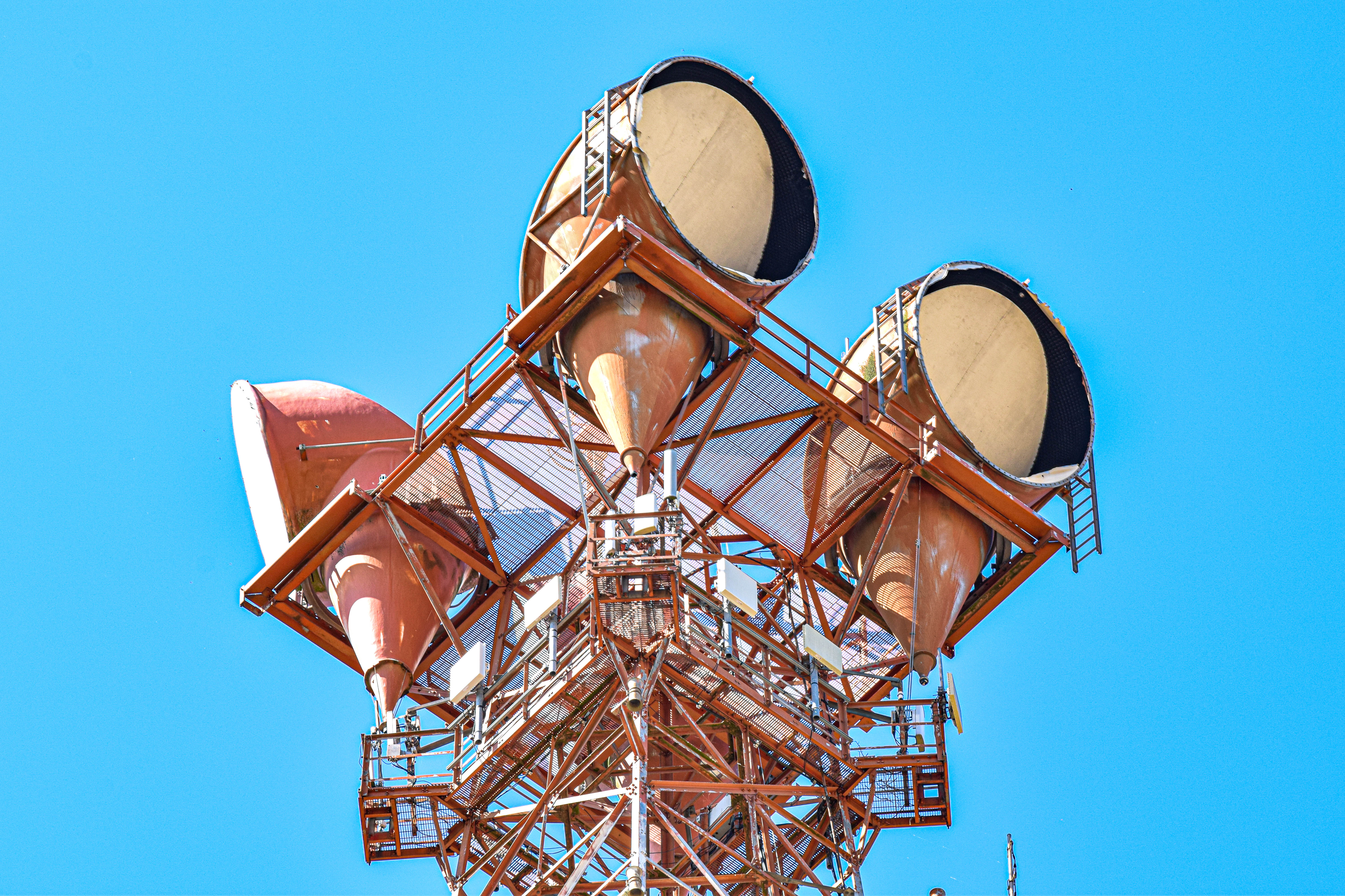
Address: HIGHWAY 20 SW OF LOCKHARTCR 109A Martindale 78655
Paths To: SEGUIN Bastrop
View On: Long Lines Map | Google Maps | Bing Maps
View Random Site
Address: HIGHWAY 20 SW OF LOCKHARTCR 109A Martindale 78655
Paths To: SEGUIN Bastrop
View On: Long Lines Map | Google Maps | Bing Maps
View Random Site