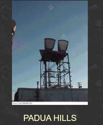
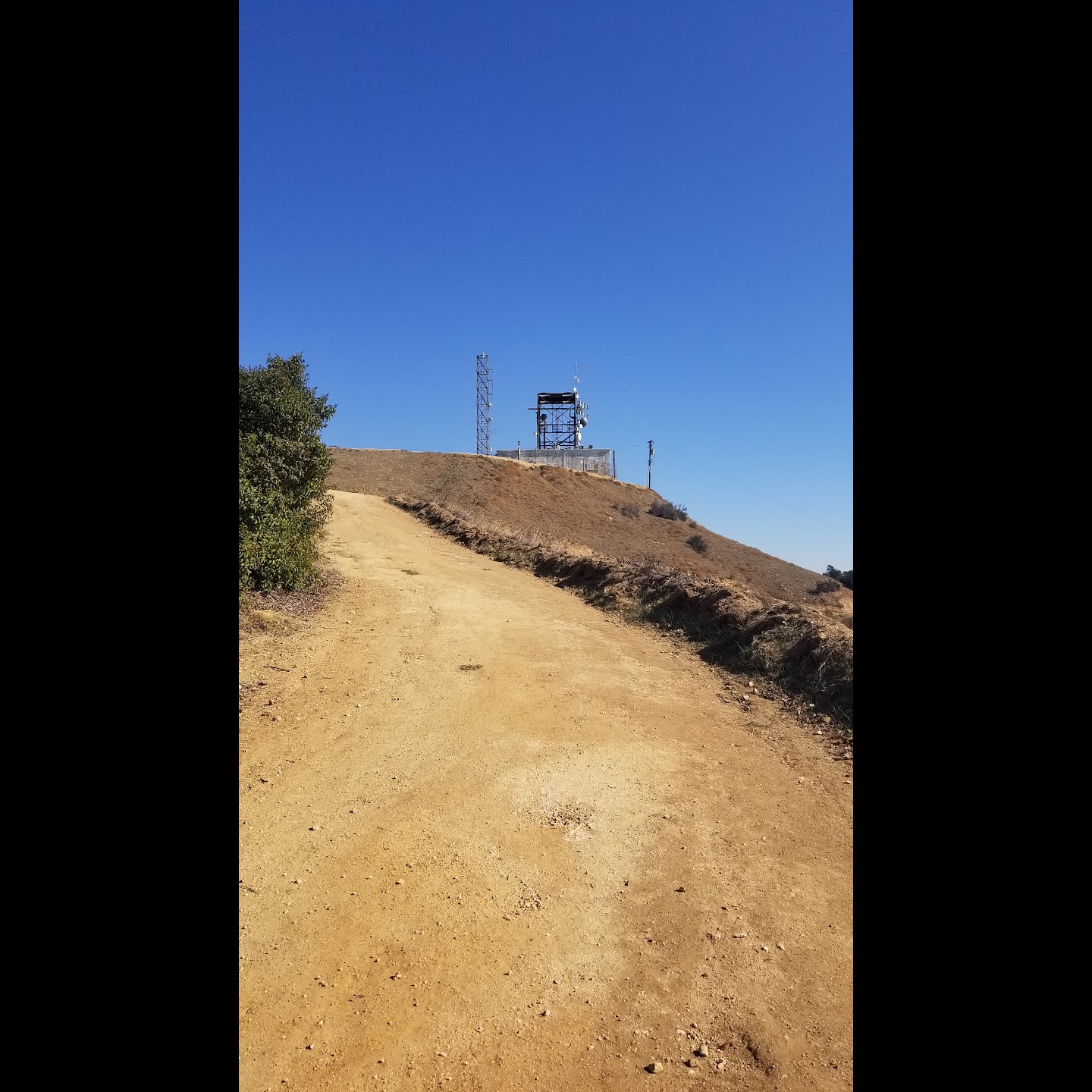
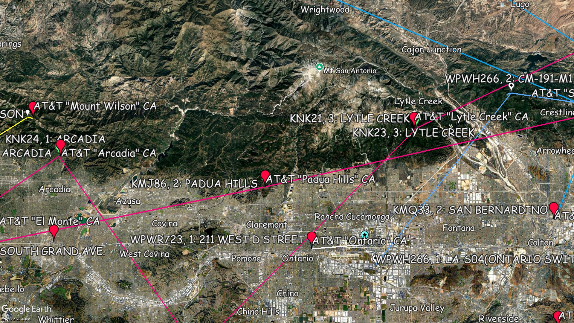
Padua Hills - California

Coordinates: 34.14250183, -117.7222214
Address: 2 Miles North of Claremont Claremont 91711
Paths To: Riverside   Strawbry Pk   Mt Wilson   Los Angeles #1
View On: Long Lines Map | Google Maps | Bing Maps

View Random Site

Site Notes

Add site note

Padua Hills routes   Collapse/Expand

Linked Strawberry Peak to Los Angeles.

Padua Hills paths   Collapse/Expand

The "Riverside" path for Padua Hills wasn't the Riverside CO. It was to a customer, printing/publishing house for the Wall Street Journal. There was also a path from Padua Hills to Disneyland in Anaheim that was used for the Bell System exhibit there, supporting Picturephone.

Route Info   Collapse/Expand

Former AT&T Corp Routes >> KMJ86, Path 1, Segment 1: LOS ANGELES 3 - PADUA HILLS << KMJ87, Path 1, Segment 1: PADUA HILLS - STRAWBRY PK

Site Documents

Site Pictures

Add site Pictures
All information is provided for free to the public. Pictures and Documents are provided by supporters of the website and for that I am very gateful.
For any questions or comments please email [email protected].