Note Collapse/Expand
When I was a kid, our drive from Nephi, Utah to Los Angeles would take us through a mountain pass near St. George, Utah.
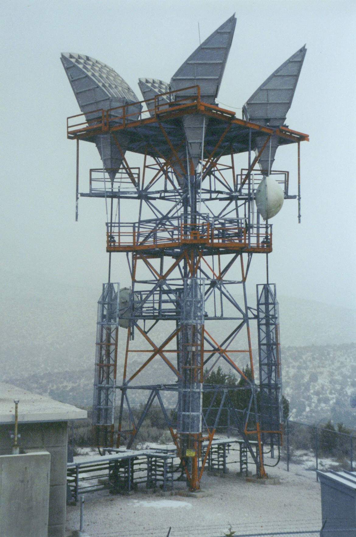
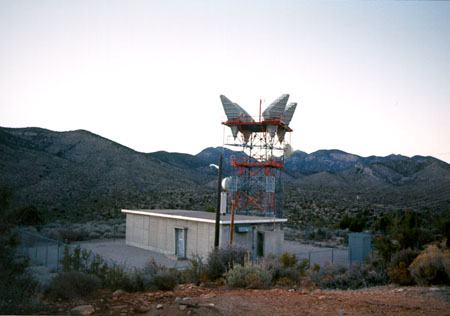
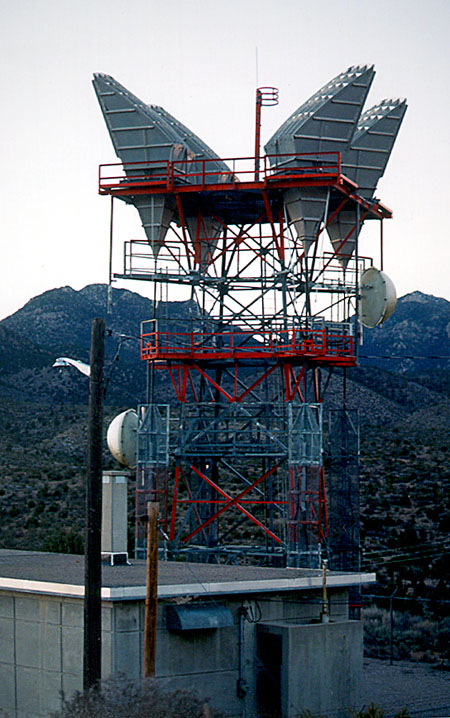
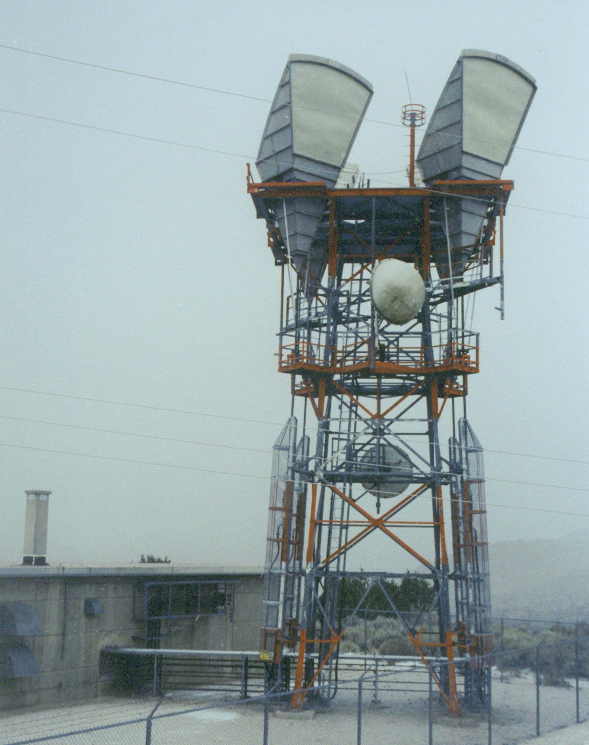
That pass, fondly known as "Utah Hill," has a six percent grade coming out of the Arizona Strip, and this tower at its summit.
The tower, along with the towers it connected to, has been idled for a while. This tower connected to towers in Enterprise, Utah, and Mormon Mesa, Nevada. The Enterprise tower connected to another tower at Lund, Utah, and further north to Milford and Cricket Mountain. (Pictures and pages to come on those other links). Santa Clara Radio is now idle. An FAA microwave tower sits nearby.Traffic that once traveled this two lane road now follows Interstate 15 through the Virgin River Gorge. Some tourists and locals still take the old road between St. George and Mesquite, Nevada. Nearby, a US West Microwave site sits high on a westward hill, and services Mesquite's Rio Virgin Telephone Company's links from Mesquite to St. George. Cell Towers also sit on that hill, known as "TV Hill." ARCHIVED FROM PATH-PRESERVATION