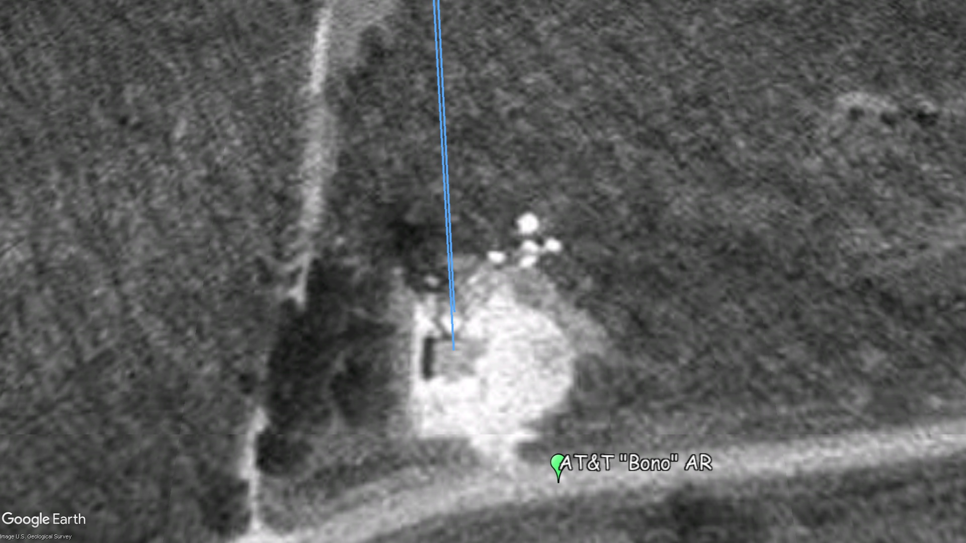
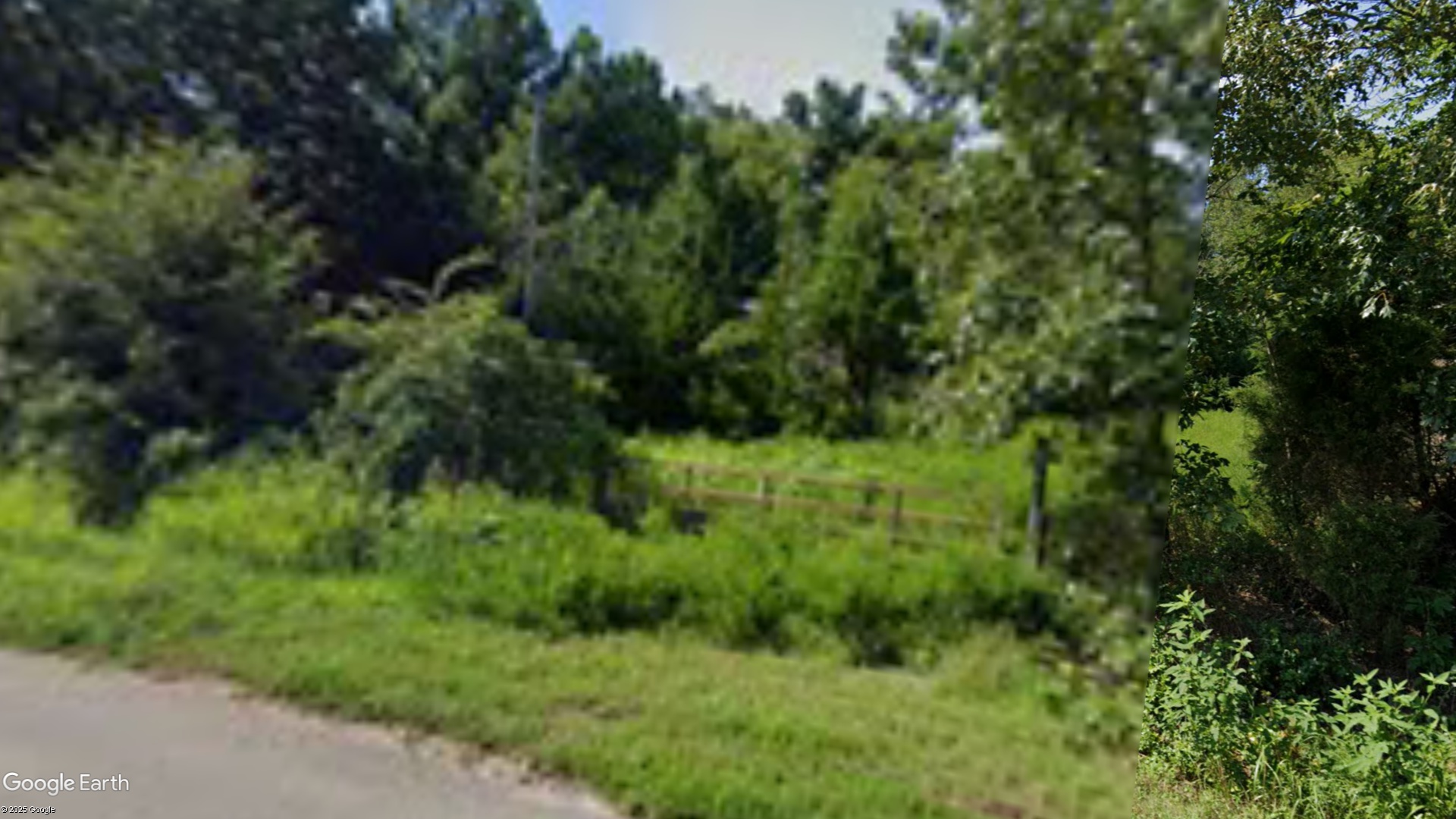
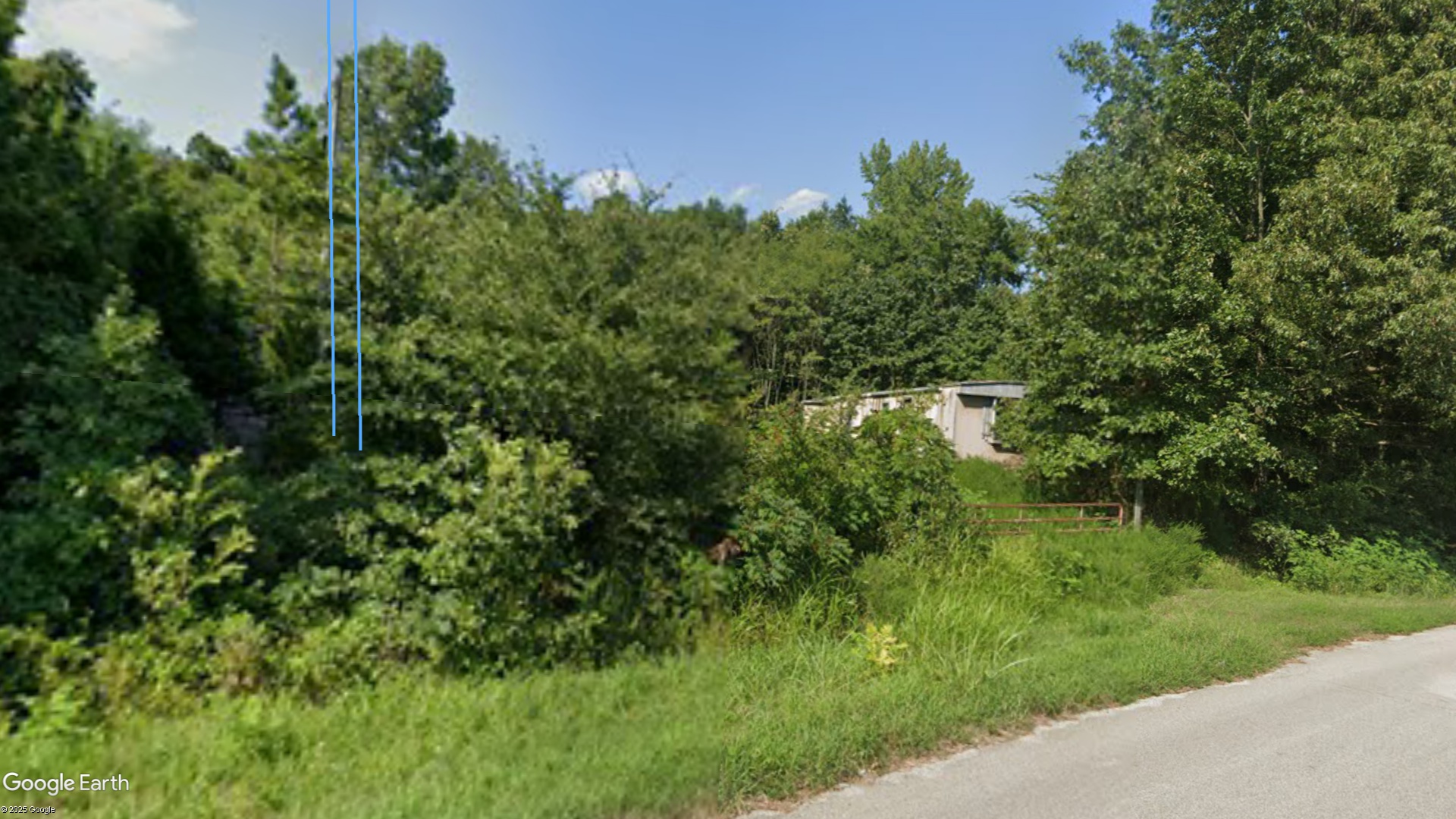
Bono PH - Arkansas

Coordinates: 35.8695711638319, -90.7874445826654
Address: 8179 Highway 63 N Bono 72416
Paths To: Walnut Ridge   Cash   Weiner   Jonesboro
View On: Long Lines Map | Google Maps | Bing Maps

View Random Site

Site Notes

Add site note

Incorrect Location   Collapse/Expand

Correct Location >> 35.863685, -90.814857 *** (Former Southwestern Bell Routes >> WCU296, Path 1, Segment 1: WALNUT RDGE - BONO << KKB55, Path 2, Segment 1: JONESBORO - BONO >> WCU294, Path 2, Segment 1: BONO - WEINER

Incorrect Location   Collapse/Expand

Correct Location >> 35.863685, -90.814857 *** Tower Demolished in 2007

Site Documents

Site Pictures

Add site Pictures
All information is provided for free to the public. Pictures and Documents are provided by supporters of the website and for that I am very gateful.
For any questions or comments please email [email protected].