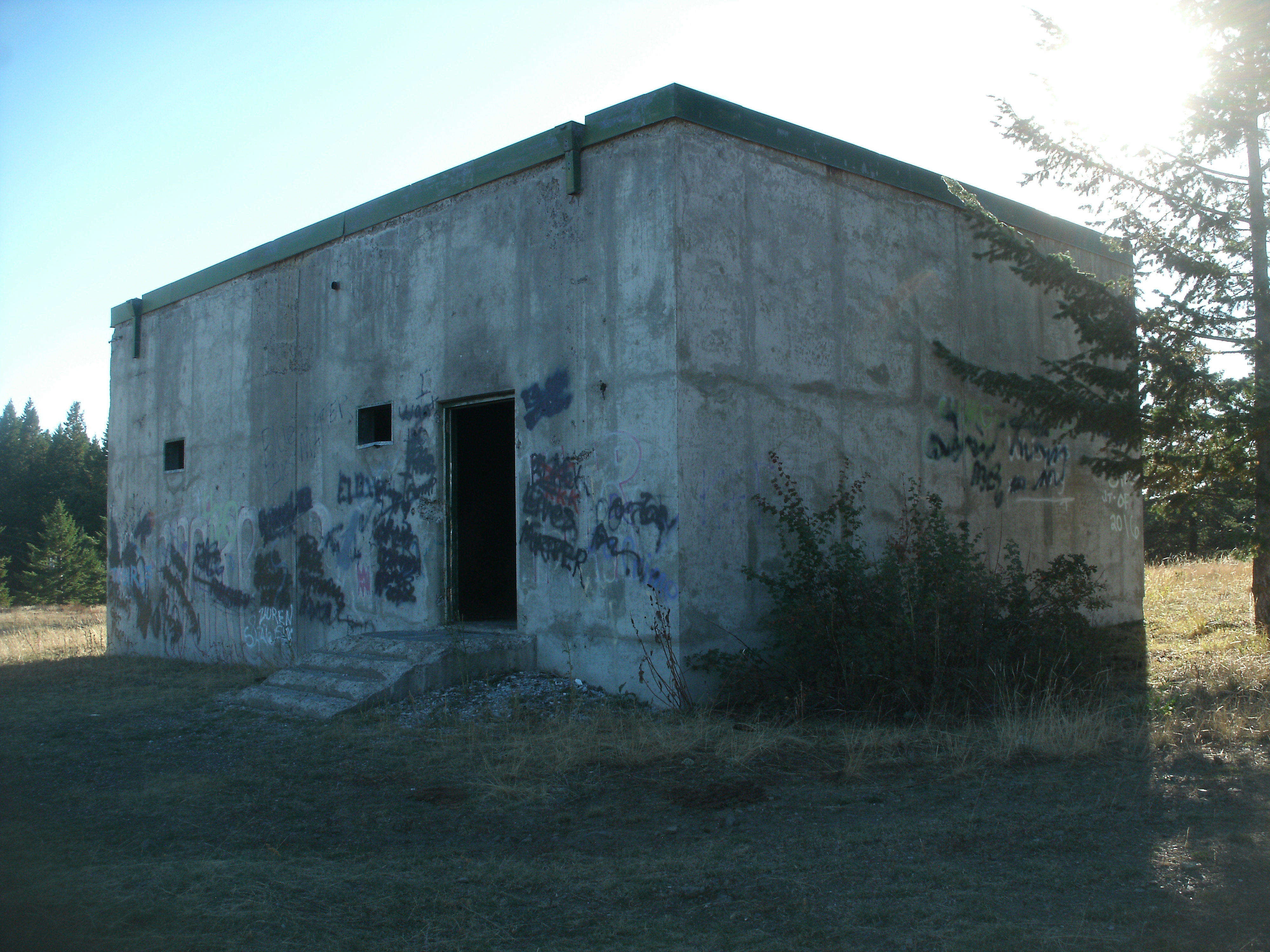
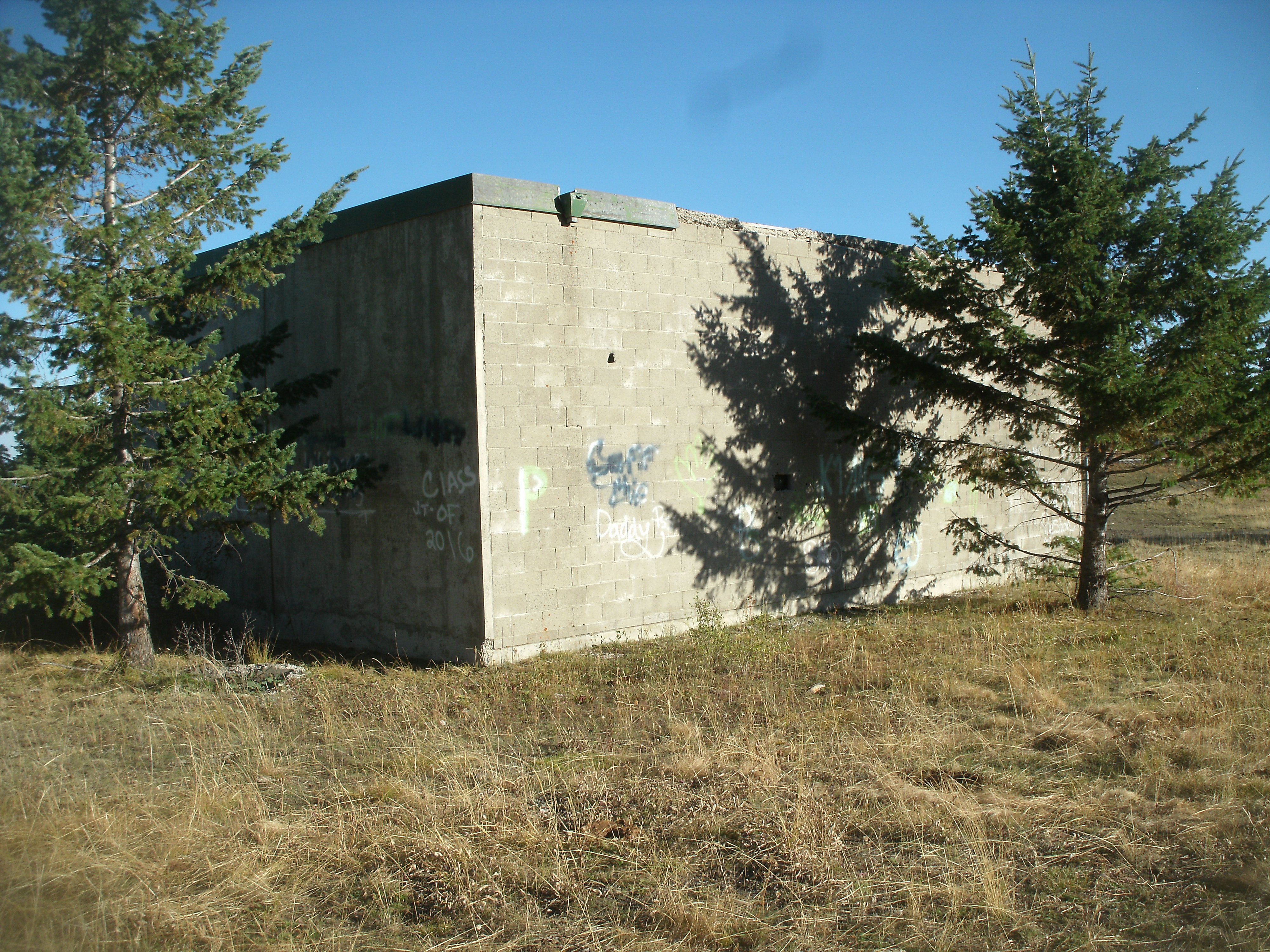
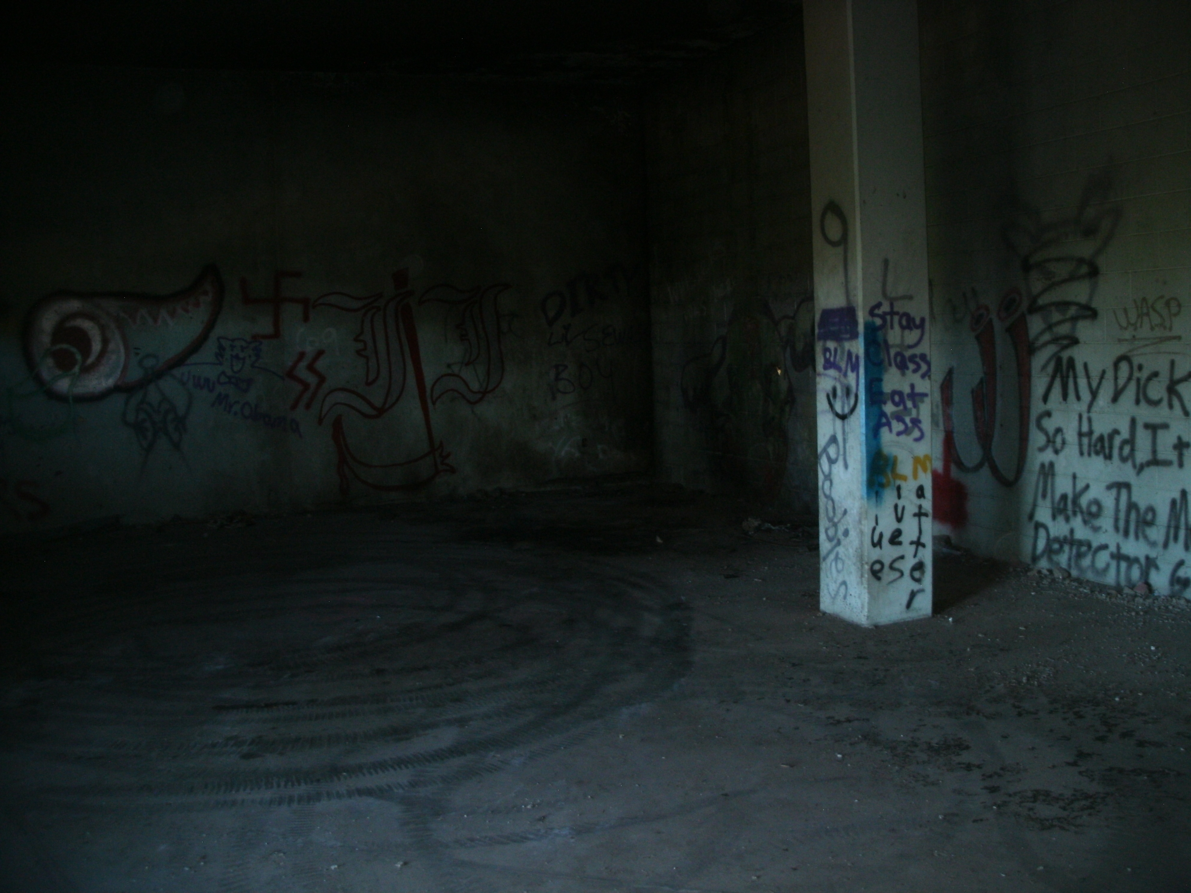
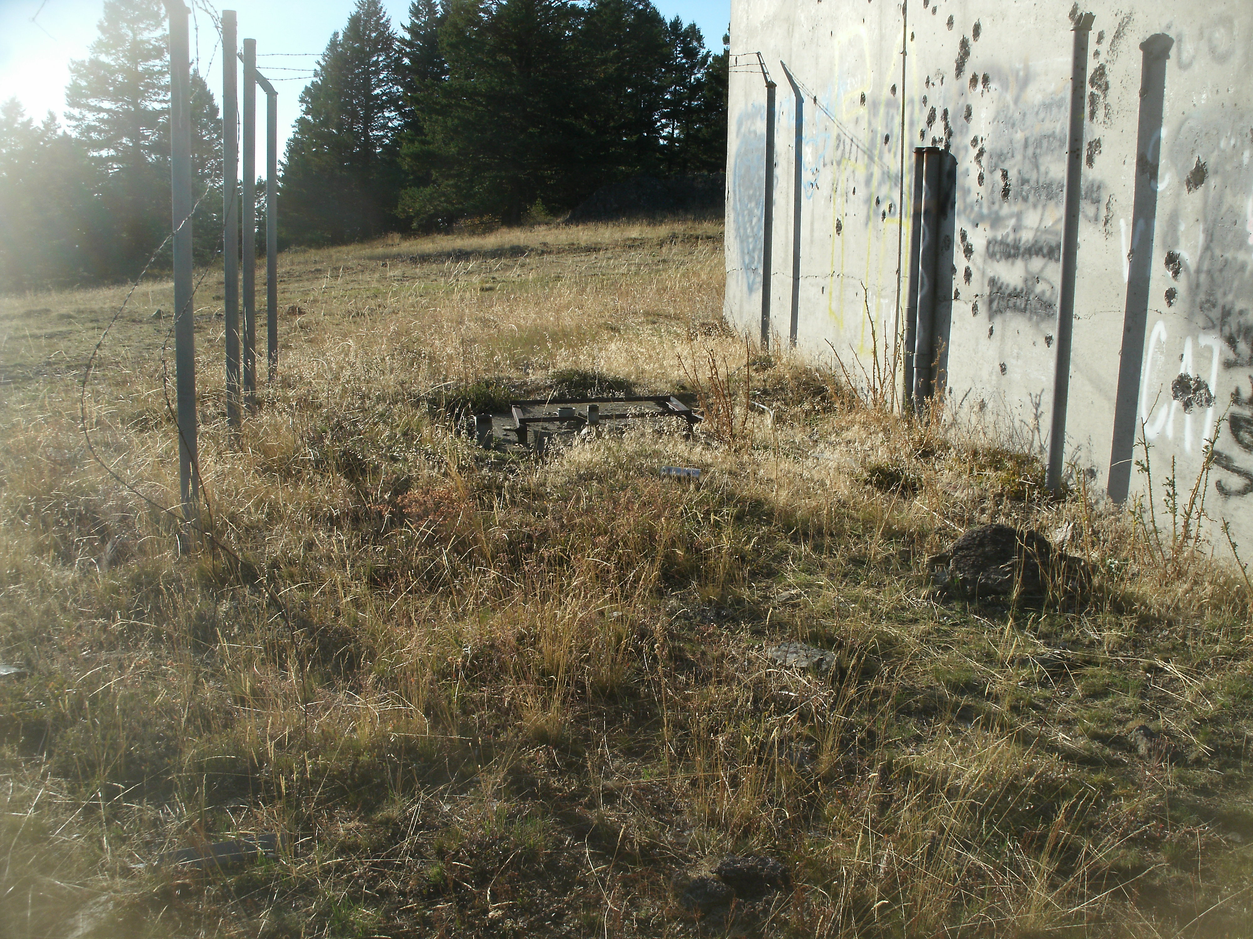
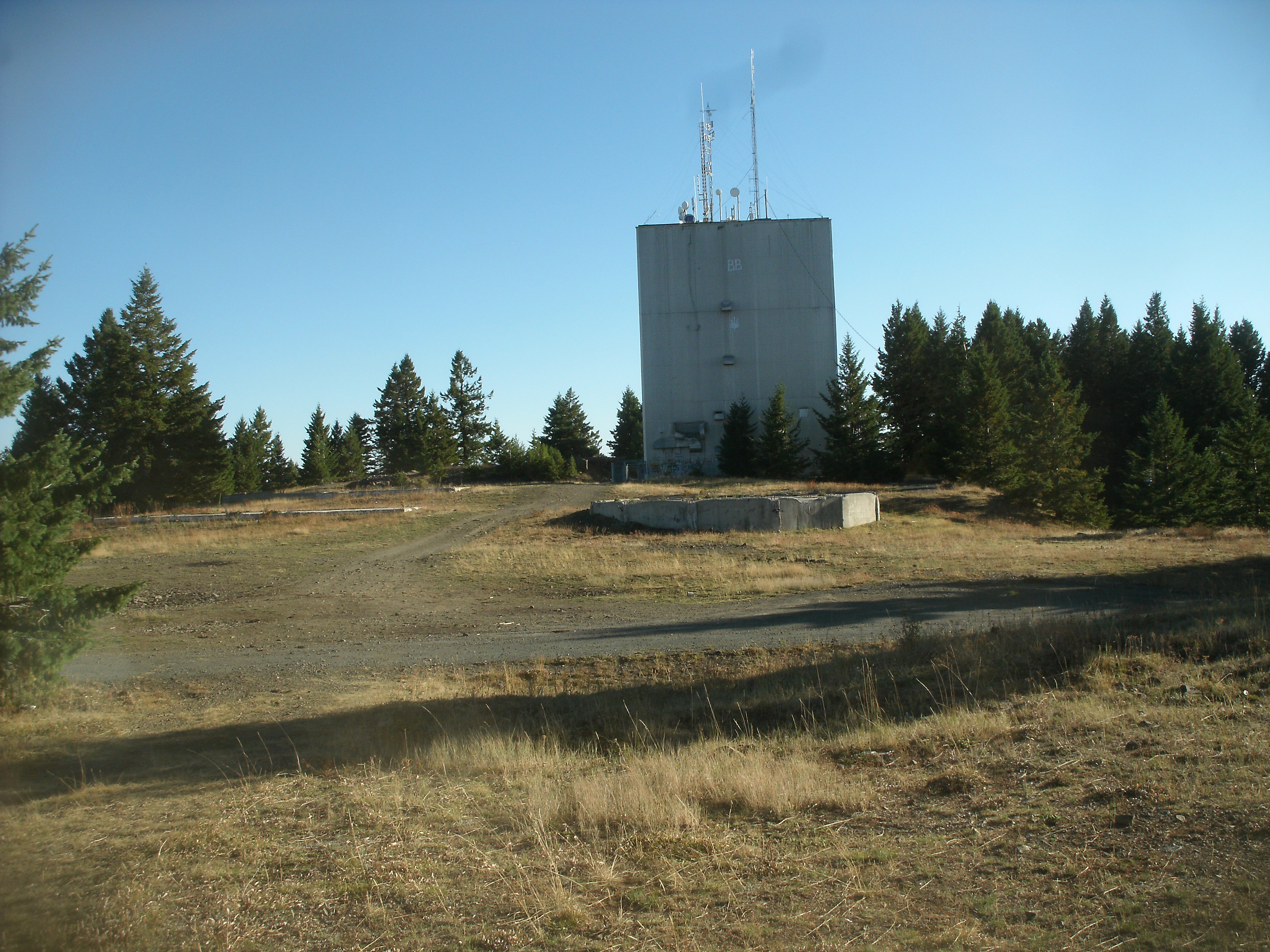
Cottonwood - Idaho

Coordinates: 46.0689736380747, -116.465833225306
Address:
Paths To: Johnson
View On: Long Lines Map | Google Maps | Bing Maps

View Random Site

Site Notes

Add site note

Cottonwood Butte Idaho   Collapse/Expand

Cottonwood Butte Long Lines site.
On top of Cottonwood Butte alonside the old AN/FPS-24 radar site.

Cottonwood ID Long Lines BLDG   Collapse/Expand

The Cottonwood Butte site was abandon in the early 1960's.
It was located near the AN/FPS-24 radar site (pic) which operated as a long range SAGE VHF/FD radar until 1965.

Site Documents

Site Pictures

Add site Pictures
All information is provided for free to the public. Pictures and Documents are provided by supporters of the website and for that I am very gateful.
For any questions or comments please email [email protected].