Ensign - Kansas

Coordinates: 37.6527945205128, -100.23361179465
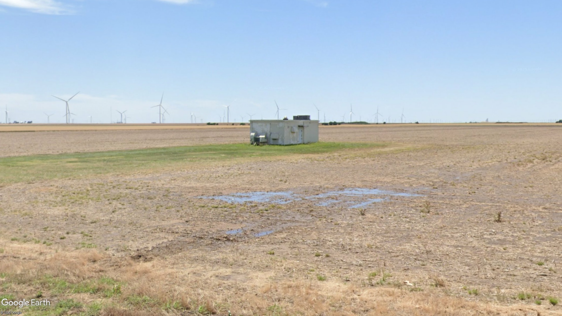
Address: Township of East Hess
Paths To: Dodge City   Montezuma
View On: Long Lines Map | Google Maps | Bing Maps

View Random Site

Site Notes

Add site note

Incorrect Location   Collapse/Expand

Correct Location >> 37.647522, -100.234073
Tower Demolished was demolished in the late 1990's and building remains on property

Site Documents

Site Pictures

Add site Pictures
All information is provided for free to the public. Pictures and Documents are provided by supporters of the website and for that I am very gateful.
For any questions or comments please email [email protected].